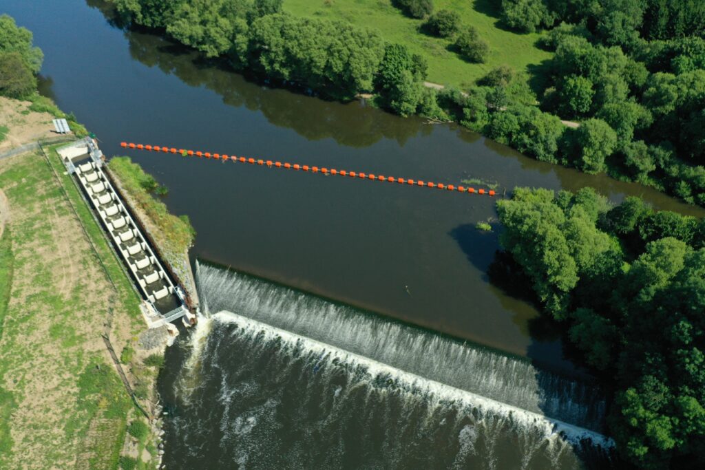
The Worcestershire Middle Severn catchment stretches across an area of approximately 1,500km2. The World Heritage Site of Ironbridge Gorge is situated in the northern region, the Shropshire Hills form the north-western boundary and on the eastern edge lies the West Midlands. The area is home to expansive urbanisation including the Black Country which historically saw significant industrial activity.
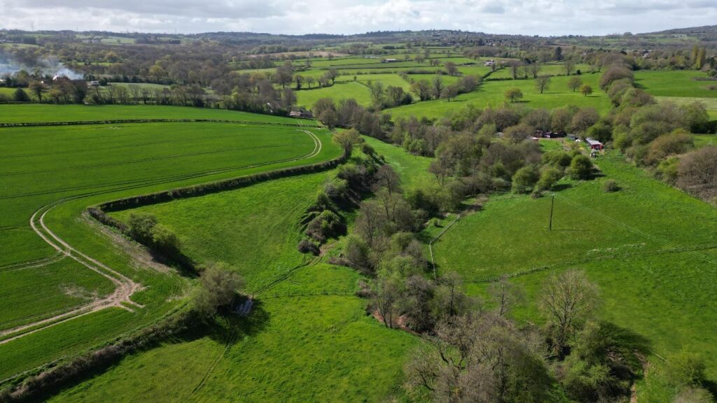
Moving south, the landscape is generally a mixture of woodland and open farmland on the Midlands Plateau. In central and southern parts, broader valleys with flatter floodplains surround the river Severn as it flows into Worcester. For non-urban areas, land use is agricultural with a mixture of arable and managed grassland farming. There are several designated Special Areas of Conservation (SACs) including the Fen Pools and Lyppard Grange Ponds, Midland Meres and Mosses Phase 1 Ramsar site. The region holds several Sites of Special Scientific Interest (SSSI) particularly around the Wyre Forest.